
Harvey
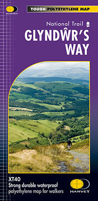
Glyndwr's Way XT40
Glyndwr's Way XT40
Regular price
€17.95
Regular price
Sale price
€17.95
Unit price
per
Taxes included.
Shipping calculated at checkout.
Couldn't load pickup availability
Description
Entire route on one map
Glyndwr's Way National Trail is 217km (135 mile) from Knighton to Welshpool.
It meanders through open moorland, rolling farmland, woodland and forest of mid-Wales. It takes you to some of the finest landscape features in Wales including the tranquil Radnorshire Hills, the shores of the Clywedog Reservoir and heather clad Plynlimon.
There are spectacular views over Cadair Idris, Lake Vyrnwy, the Cambrian mountains and Y Golfa. The highest point on the route is Foel Fadian at 510m (1530ft).
Features
- Tough, light, durable and 100% waterproof
- Includes Rights of Way
- Genuine original HARVEY mapping
- Route clearly marked
Technical Specification
- Scale: 1:40,000
- Ratio: 2.5cm = 1km
- Flat size: 972 x 700mm
- Folded size: 116 x 243mm
- Weight: 60gms
- Double sided
- Format: strip map