1
/
of
1
Harvey
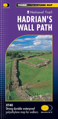
Hadrian's Wall XT40
Hadrian's Wall XT40
Regular price
€17.95
Regular price
Sale price
€17.95
Unit price
/
per
Taxes included.
Shipping calculated at checkout.
Couldn't load pickup availability
Description
Entire route on one map
Hadrian’s Wall Path is a National Trail and runs 130km (81 miles) from the Solway Coast to Newcastle.
The sites of Roman remains are marked on the map, with an enlargement of Housesteads.
Features
- Tough, light, durable and 100% waterproof
- Includes Rights of Way
- Genuine original HARVEY mapping
- Route clearly marked
Technical Specification
- Scale: 1:40,000
- Ratio: 2.5cm = 1km
- Flat size: 696 x 486mm
- Folded size: 116 x 243mm
- Weight: 35gms
- Double sided
- Format: strip map
Share


