
Harvey
Lake District East XT25
Lake District East XT25
Regular price
€17.11
Regular price
Sale price
€17.11
Unit price
per
Taxes included.
Shipping calculated at checkout.
Couldn't load pickup availability
Description
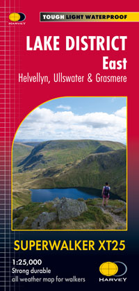
Features Helvellyn and High Street and fells east of the Kendal-Keswick road. The Kirkstone Pass, Ullswater, Haweswater and Kentmere are on this sheet.
Detailed map for hillwalkers of the eastern fells of the Lake District National Park at the popular 1:25,000 scale.
Includes 82 Wainwrights.
Features
- Tough, light, durable and 100% waterproof
- Genuine, original, HARVEY mapping
- Includes Rights of Way
- Opens directly to either side of the sheet
- Easy to re-fold
Technical Specification
- Scale: 1:25,000
- Ratio: 4cm = 1km
- Flat size: 1392 x 486mm
- Folded size: 116 x 243mm
- Weight: 60gms
- Area of mapping: 663sqkm
- Double sided