
Harvey
Pitlochry XT25
Pitlochry XT25
Regular price
€17.11
Regular price
Sale price
€17.11
Unit price
per
Taxes included.
Shipping calculated at checkout.
Couldn't load pickup availability
Description
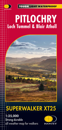
Detailed map for hillwalkers of Pitlochry, Loch Tummel and Blair Atholl at the popular 1:25,000 scale. Includes Ben Vrackie, Beinn a’ Ghlo and Pass of Killiecrankie. Shows Aberfeldy in the south, Pitlochry to the east and the hills north of Blair Atholl.
Includes 5 Munros and 4 Corbetts.
Features
- Tough, light, durable and 100% waterproof
- Genuine, original, HARVEY mapping
- Shows Core Paths
- Opens directly to either side of the sheet
- Easy to re-fold
Technical Information
- Scale: 1:25,000
- Ratio: 4cm = 1km
- Flat size: 1392 x 486mm
- Folded size: 116 x 243mm
- Weight: 64gms
- Area of mapping: 702sqkm
- Double sided