
Harvey
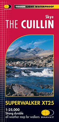
Skye Cuillin XT25
Skye Cuillin XT25
Regular price
€17.11
Regular price
Sale price
€17.11
Unit price
per
Taxes included.
Shipping calculated at checkout.
Couldn't load pickup availability
Description
Includes the In Pin (Innaccessible Pinnacle), Am Basteir, Sgurr nan Gillean, and Sgurr Alasdair. Detailed map for hillwalkers of the Cuillin of Skye at the popular 1:25,000 scale. An enlargement of the Black Cuillin ridge at 1:12,500 scale is on the back of the map. Ridge diagram showing routes across or off the Cuillin Ridge. As used by Skye Mountain Rescue Team
Includes 12 Munros, 2 Corbetts and 5 Grahams.
Features
- Tough, light, durable and 100% waterproof
- Genuine, original, HARVEY mapping
- Easy to re-fold
Technical Information
- Scale: 1:25,000
- Ratio: 4cm = 1km
- Flat size: 972 x 700mm
- Folded size: 108 x 243mm
- Weight: 60gms
- Area of mapping: 346sqkm
- Double sided