
Harvey
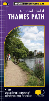
Thames Path XT40
Thames Path XT40
Regular price
€17.95
Regular price
Sale price
€17.95
Unit price
per
Taxes included.
Shipping calculated at checkout.
Couldn't load pickup availability
Description
Entire route on one map
The Thames Path is a National Trail. It follows the banks of the river for 294km (183 miles) from the flood barrier at Woolwich in South East London to Kemble in Gloucestershire. It is a long distance walking route, most of it cannot be cycled.
The Trail passes through water meadows, historic towns & lovely villages. The path is flat which makes for easy walking.
Jos Joslin National Trails Manager (Marketing & Projects) said of this map, "really beneficial to have the whole length of the Thames Path upstream of London on just one map. Clear mapping and useful information makes this a very practical map".
Features
- Tough, light, durable and 100% waterproof
- Route clearly marked
Technical Specification
- Scale: 1:60,000
- Ratio: 1.66cm = 1km
- Flat size: 1160 x 486mm
- Folded size: 116 x 243mm
- Weight: 60gms
- Double sided
- Format: strip map