
Harvey
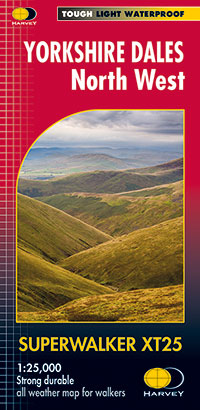
Yorkshire Dales North West XT25
Yorkshire Dales North West XT25
Regular price
€17.11
Regular price
Sale price
€17.11
Unit price
per
Taxes included.
Shipping calculated at checkout.
Couldn't load pickup availability
Description
Features the Howgill Fells, including the Calf, Cautley Crag, and Wild Boar Fell.
Detailed map for hillwalkers of the north western part of the Yorkshire Dales National Park at the popular scale of 1:25,000.
Sedbergh, Hawes and Kirkby Stephen.
Features
- Tough, light, durable and 100% waterproof
- Genuine, original, HARVEY mapping
- Includes Rights of Way
- Opens directly to either side of the sheet
- Easy to re-fold
Technical Specification
- Scale: 1:25,000
- Ratio: 4cm = 1km
- Flat size: 1392 x 486mm
- Folded size: 116 x 243mm
- Weight: 60gms
- Area of mapping: 702sqkm
- Double sided