1
/
of
1
Harvey
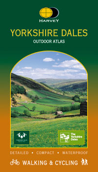
Yorkshire Dales Outdoor Atlas
Yorkshire Dales Outdoor Atlas
Regular price
€11.95
Regular price
Sale price
€11.95
Unit price
/
per
Taxes included.
Shipping calculated at checkout.
Couldn't load pickup availability
Description
Maps of the whole of the Yorkshire Dales National Park in one handy book.
Features
- Spiral bound to lie flat in the hand
- Waterproof for outdoor use
- Detailed mapping. Scale 1:40,000.
- Shows public footpaths and bridleways
- Can be used with GPS
Share


